
About This Report:
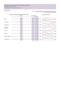
The 2001 Area Classifications were created on behalf of the Office of National Statistics by the University of Leeds. The classification is used to group together geographic areas according to key characteristics common to the population in that grouping. These groupings are called clusters, and are derived using 2001 population census data.
N.B. These boundaries and area codes are subject to change following the 2011 Census. Fore more details of the changes for Leicestershire LSOAs, please click here.
For more information, please contact:
Alex Lea
Research & Insight Manager
Research & Insight Team
Leicestershire County Council
T. 0116 305 6803
E. alex.lea@leics.gov.uk
Related Reports

Reports from the Director of Public Health.

Reasons why people with dementia are admitted to a general hospital in an emergency
Thu, 10 Sep 2015
Leicestershire Public Health
In July 2015, Public Health England (PHE) published a briefing and data set looking at reasons for emergency admissions for dementia patients. This data briefing has been developed as partnership between NHS England and the Dementia Intelligence Network (DIN). The briefing presents the findings from...
Domestic Abuse data is now available as an interactive dashboard.
A PDF version can be downloaded below.
The Domestic Abuse Dashboard provides a visual indication of recorded offences and non-recordable incidents of domestic abuse reported to the Police in Leicestershire County for the current year-to-date...

The Hate Incident Monitoring Project (HIMP) data is now available as an interactive dashboard.
A PDF version can be downloaded below.
The Hate Incident Monitoring Project Dashboard provides a quarterly summary of the number of hate incidents reported to the Police and HIMP as well as maps showing hate...

The monthly unemployment bulletin contains a range of unemployment related statistics, covering Leicester, Leicestershire and Rutland. The JSA claimant data in this bulletin is available down to ward level. The JSA data is also available broken down by the detailed ethnic groups down to Local Authority...